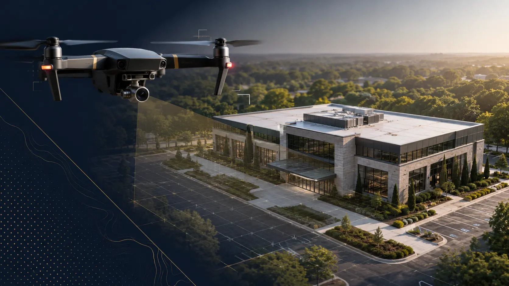
At Sentinel 360 Solutions, our drone and aerial imaging services provide property owners, businesses, and asset managers with advanced visual documentation and elevated property insight designed to improve preparedness, organization, and property intelligence.
Using high-resolution drone photography and video, we capture detailed aerial views of roofs, building exteriors, large properties, and site conditions that may not be fully visible through traditional ground-level inspections. These services help create organized visual records of property conditions before and after loss events occur.
Our drone imaging capabilities are particularly valuable for large estates, commercial facilities, multi-building properties, industrial sites, and properties with difficult-to-access areas.
By combining aerial technology with comprehensive property documentation strategies, Sentinel 360 Solutions delivers clear visual records that support property management, baseline condition reporting, preparedness planning, and future recovery efforts.
Our drone and aerial imaging services may include:
Roof & Exterior Imaging
Roof condition photography and video
Exterior elevation imaging
Building façade documentation
Storm-related condition observations
Aerial Property Documentation
High-resolution aerial photography
Property overview imaging
Site layout visibility
Large property and campus imaging
Pre-Loss Property Records
Baseline aerial condition records
Organized visual documentation
Existing condition imaging before damage occurs
Property history documentation
Commercial & Large Property Support
Multi-structure property imaging
Industrial and commercial site documentation
Construction and development progress imaging
Large-scale property overview reporting
Post-Loss Aerial Support
Storm and catastrophe damage imaging
Roof and exterior damage visibility
Recovery documentation support
Organized aerial records for future reference
At Sentinel 360 Solutions, our drone and aerial imaging services help clients gain a clearer perspective of valuable properties through advanced visual documentation, proactive preparedness, and organized property intelligence solutions.

